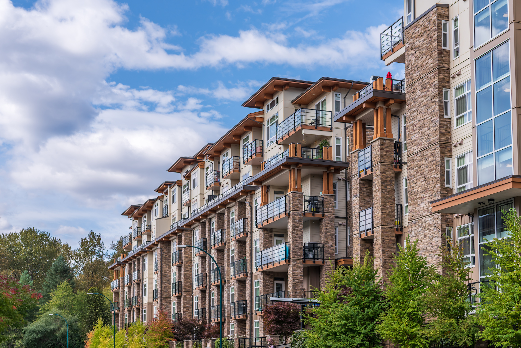
Burnaby Neighbourhood Guide
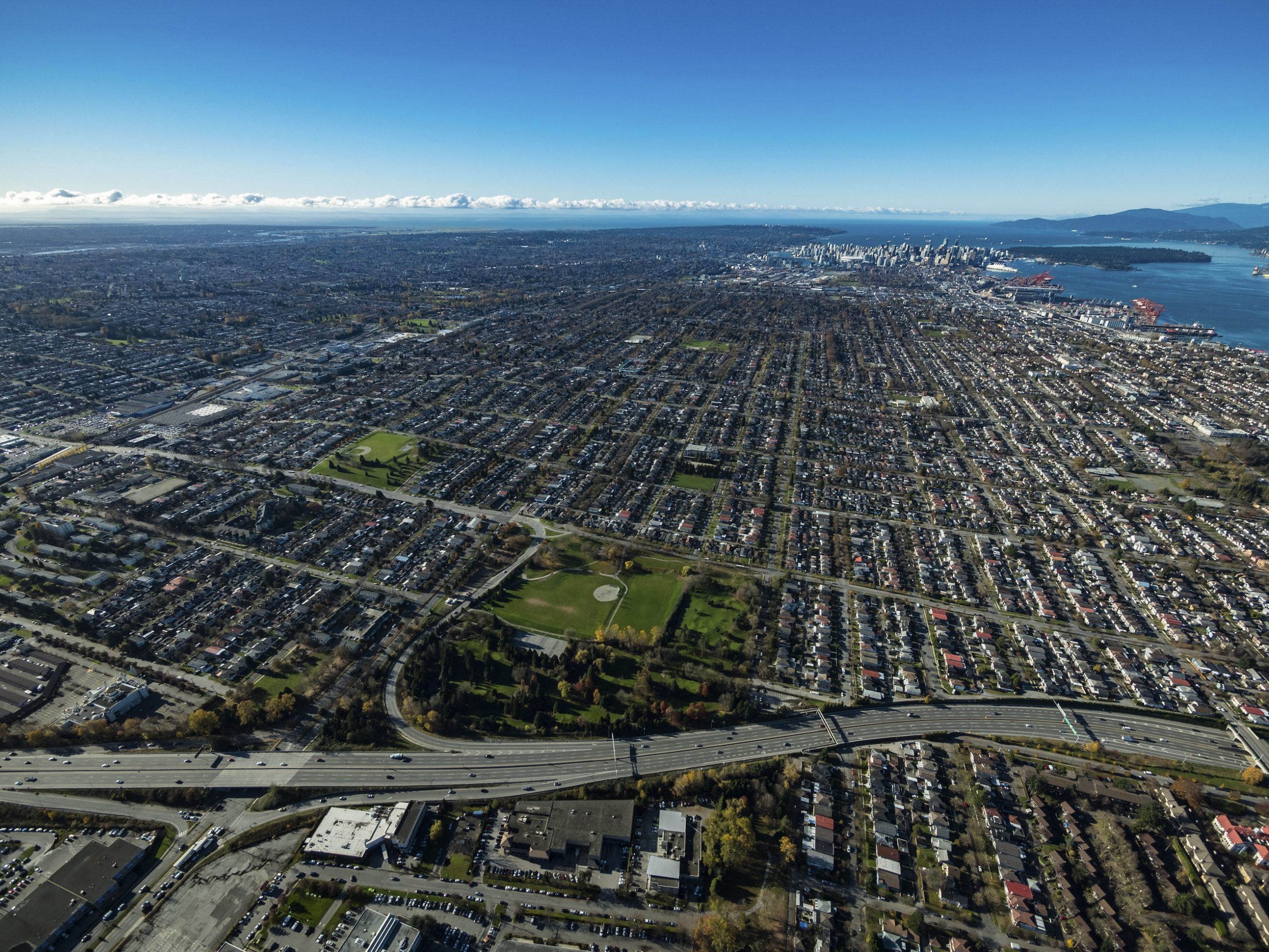
Burnaby is an exciting, vibrant city that provides its residents with everything they need to live their best lives. Home to over 249,000 people and renowned institutions such as the British Columbia Institute of Technology (BCIT) - where instructors have direct experience in their field- as well as EA Games' headquarters and Michael Bublé's residence, Burnaby offers a range of opportunities for everyone. To gain further insight into this unique Canadian metropolis please take time out to read about it on the City of Burnaby website; you won't be disappointed! This real estate guide includes all the information any buyer or seller would want when searching for property in Burnaby: from neighbourhoods profiles to rental prices – buying or selling your home here has never been easier!
Buckingham Heights
Real Estate in Burnaby's Buckingham Heights
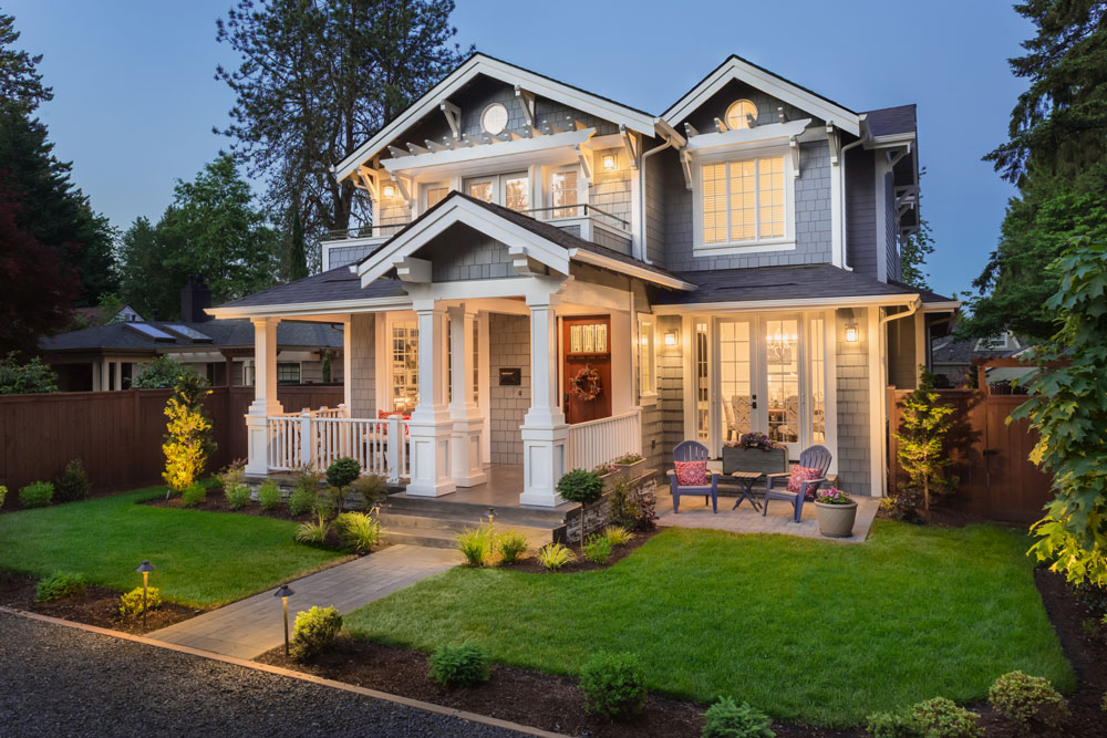
Buckingham Heights stands as an unmatched example of luxury living in Burnaby. Located north of Middlegate (Highgate), it boasts large single-family detached homes and is close to a wide range of amenities such as Deer Lake Park, recreational centres, cultural hotspots, schools and parks - making for the perfect place for families looking to settle down.
Buckingham Heights Detached HomesBuckingham Heights Row Homes & DuplexesBuckingham Heights Townhomes
Buckingham Heights Amenities
Nestled close to Burnaby's recreational and cultural offerings, Buckingham Heights also lies near Deer Lake Park- an idyllic spot featuring a range of outdoor activities from boating to bird watching. The park’s northern side is the bustling hub for local culture with its art studios, galleries, museum and renowned Shadbolt Centre - which divides itself amongst Vancouver’s top concert venues hosting various annual events such as the symphony orchestra or blues festivals along with prominent touring acts. Finally; located between two commercial districts brimming in services and shops – Edmonds & Metrotown – this location provides it all!
Buckingham Heights Schools
- Buckingham Elementary
- Lakeview Elementary
- Morley Elementary
- Burnaby Central Secondary School
- Moscrop Secondary School
Buckingham Heights Transportation
Buckingham Heights is ideally situated for travelling to the cities of Vancouver and other parts of the Lower Mainland. All thanks to easy accessibility from Canada Way straight into Trans-Canada Highway (Highway 1). And further facilitated by several bus routes providing connections with SkyTrain, commuting has never been more convenient!
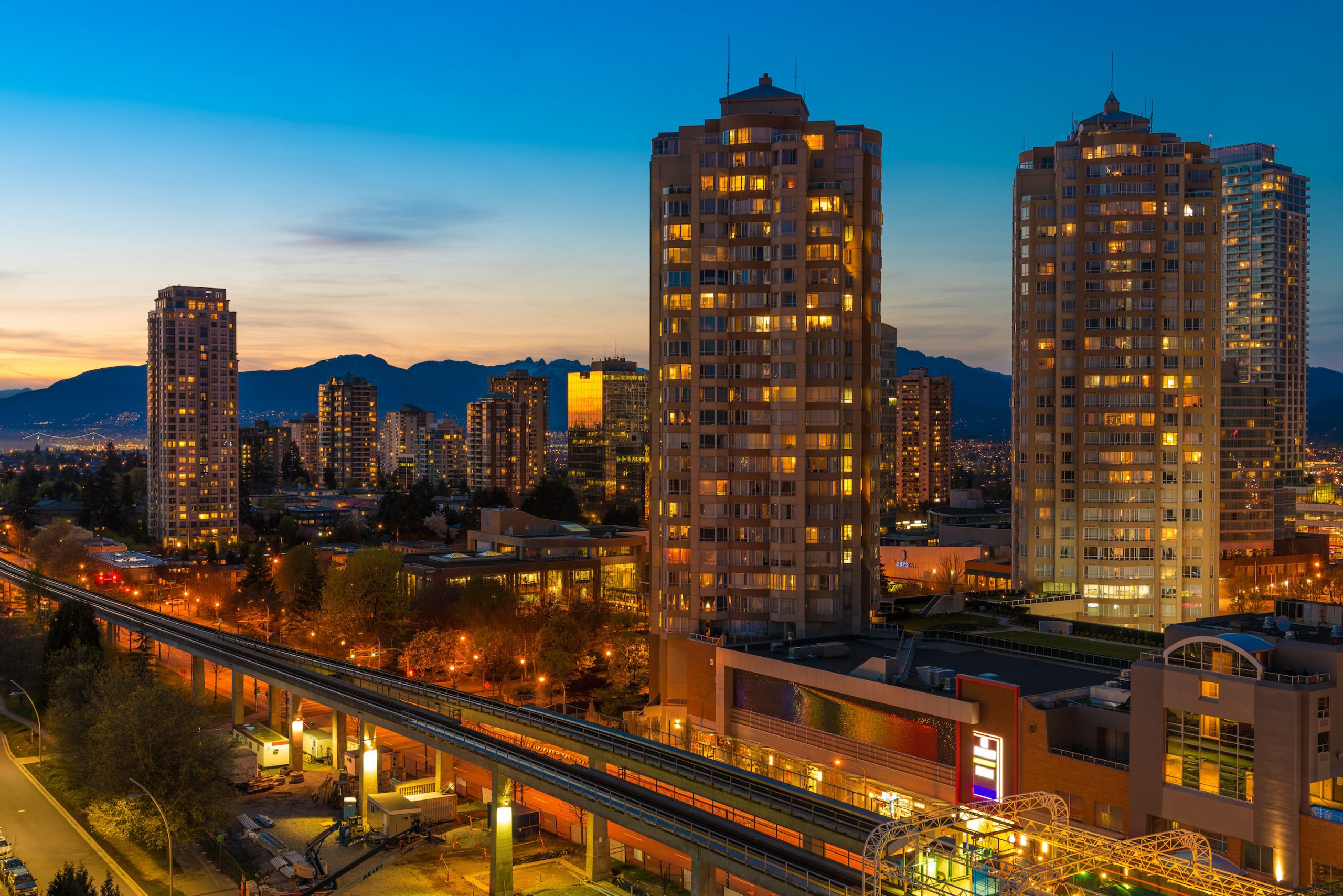
Brentwood
Real Estate in Burnaby's Brentwood Area
Brentwood Park is a great destination to settle down and raise children. There are many single-family detached homes, as well as condominiums near Lougheed Highway and Brentwood Town Centre providing diverse housing choices for families of all sizes - perfect for small households or young professionals searching for an ideal place to call home.
Brentwood is a quiet and attractive neighbourhood located in North Burnaby. It is north of The Amazing Brentwood, a new shopping mall located between Springer Avenue and Willingdon Avenue. Brentwood is mainly a residential area of single-family detached homes with several high and low-rise apartment buildings close to Springer Avenue. The neighbourhood also has condos near the SkyTrain stations which is ideal for young professionals who commute to Vancouver.
Shopping & Restaurants in Brentwood
The new Amazing Brentwood is a shopping centre located in the southwest corner of Willingdon and Lougheed. You will find everything you need in the shopping centre, including financial institutions and dental and medical centres. The mall features a newly envisioned food court that redefines casual dining with a range of offerings. The food court is located on Level 2, accessible from the Grand Lobby as well as the Interior Centre.
Nearby restaurants include fast food options, pubs and dine-in restaurants. Here are a few of our favourites:
- Cactus Club
- Browns Brentwood
- Argo Greek
- The Viet Noodle Guy
- The Keg
- JOEY Burnaby
- Pizza Garden
Schools in the Brentwood Area
- École Alpha Secondary School (French Immersion)
- Burnaby North Secondary
- Brentwood Park Elementary
- Brentwood Montessori Child Care
- Brentwood Preschool
- Parkcrest Elementary
Brentwood Recreation
Brentwood Park is an urban oasis in the heart of town. Take time to marvel at breathtaking views of Burnaby Mountain and North Shore Mountains, or explore Beecher Park with its playgrounds, trails, woodlands and sports field alongside Beechers Creek which connects to Still Creek. Visit Eileen Daily Leisure Pool & Fitness Centre for a leisurely swim - there's even a kid-friendly water slide! Don't forget McGill Library: Brentwood’s local branch offering endless opportunities for learning something new!
Brentwood Transportation
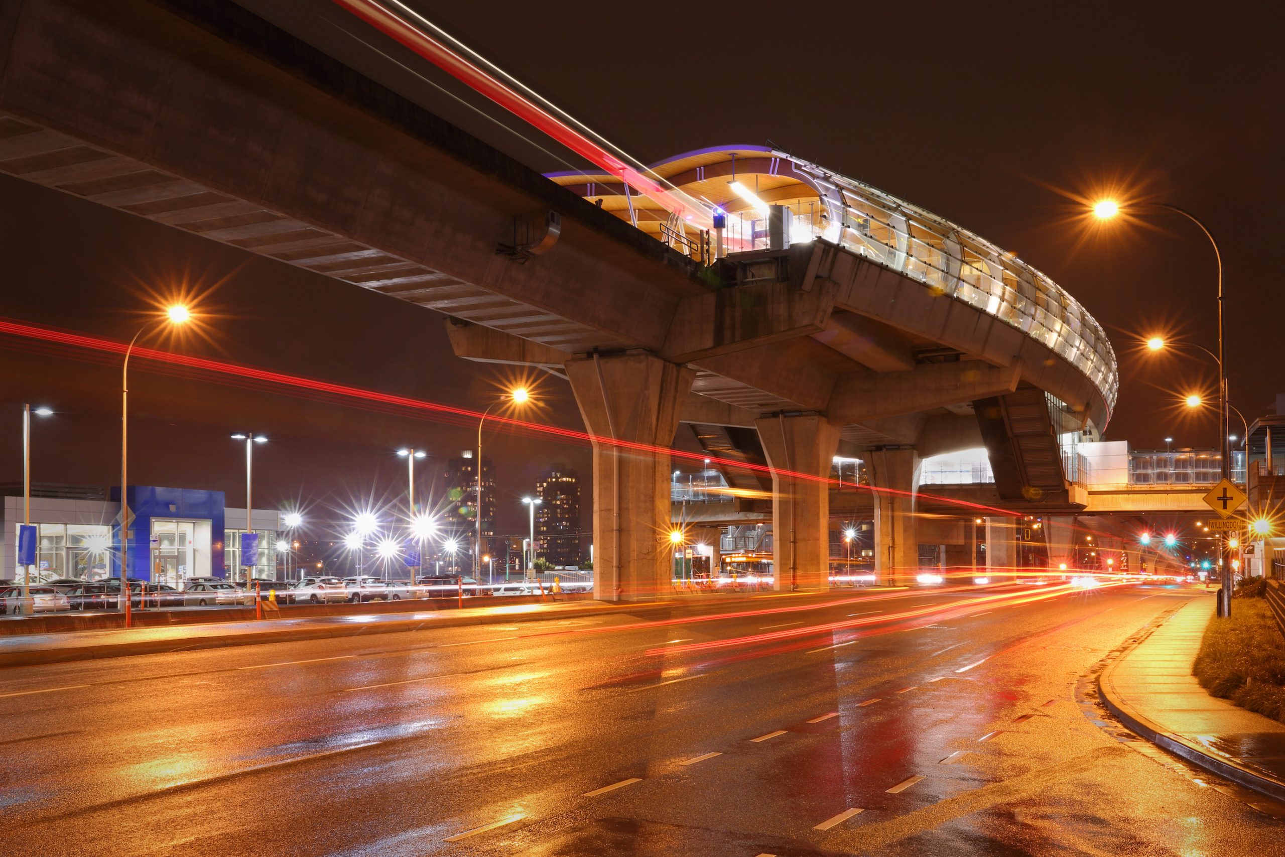
Brentwood is well served by two stations on the Millenium SkyTrain line;
- Holdom Station
- Brentwood Station
Bus routes run from Brentwood station to Nanaimo Station, The University of British Columbia, Kootenay Loop, Simon Fraser University and Metrotown. Commuters can connect to Vancouver through the Lougheed Highway or Highway 1 at the Willingdon.
Burnaby Heights
Real Estate in Burnaby Heights Area
Burnaby Heights is a highly desirable neighbourhood that provides easy access to all of the essential amenities and services residents need. From cozy single-family homes to spacious townhouses and condos, this vibrant locale caters for everyone from young professionals to families with children or retirees seeking an idyllic suburban lifestyle. Boasting picturesque tree-lined streets, immaculate parks and spectacular views of both North Shore Mountains and Downtown Vancouver - it's no wonder why so many people have chosen Burnaby Heights as their perfect home!
Burnaby Heights Amenities
Burnaby Heights is a vibrant and family-friendly neighbourhood located in the northwest corner of Burnaby. With its western edge bordering Vancouver, it stretches east to the Burrard Inlet, encompassing an array of residential abodes such as single-family homes, custom builds and condominiums -- some with stunning views overlooking Hastings Street's notable heritage homes. Both calming parkscapes and recreational amenities dot this lively community while its thriving business district adds extra charm to one's day out!
Schools in Burnaby Heights
- Gilmore Elementary
- Rosser Elementary
- Confederation Park Elementary
- St. Helens Elementary - Private School
Recreation in Burnaby Heights
Confederation Park is bursting with activity for everyone in the neighbourhood. This premier recreation spot features a pool, seniors centre and library, along with sports fields like basketball courts and lacrosse boxes as well as playgrounds, lawn bowling pitches and an all-ages skate park - perfect for getting active! An informal walking/running track helps make Confederation Park one of Burnaby's most enjoyable outdoor attractions. For canine companions looking to stretch their legs too, Montrose Park offers residents an off-leash area that connects conveniently to Boundary Road via part of a pedestrian trail.
Burnaby Heights Transportation
Located in the heart of Burnaby Heights, this friendly neighbourhood benefits from world-class transportation options. With bus routes running along Hastings Street for convenient local access and a direct link to both Downtown Vancouver and Metrotown SkyTrain via Nanaimo Station, locals can easily traverse the area with ease. In addition, close proximity to Boundary Road , Eton Street, Willingdon Avenue as well as quick connections to Trans Canada Highway (and further into North Shore) thanks to Ironworkers Memorial Bridge make travelling on even longer journeys stress free!
Burnaby Heights Real Estate
Looking to invest in Burnaby Heights? Home buyers have plenty of options with condo apartments, townhomes and detached houses available. Living here may come at a premium but the investment is certainly worth it!

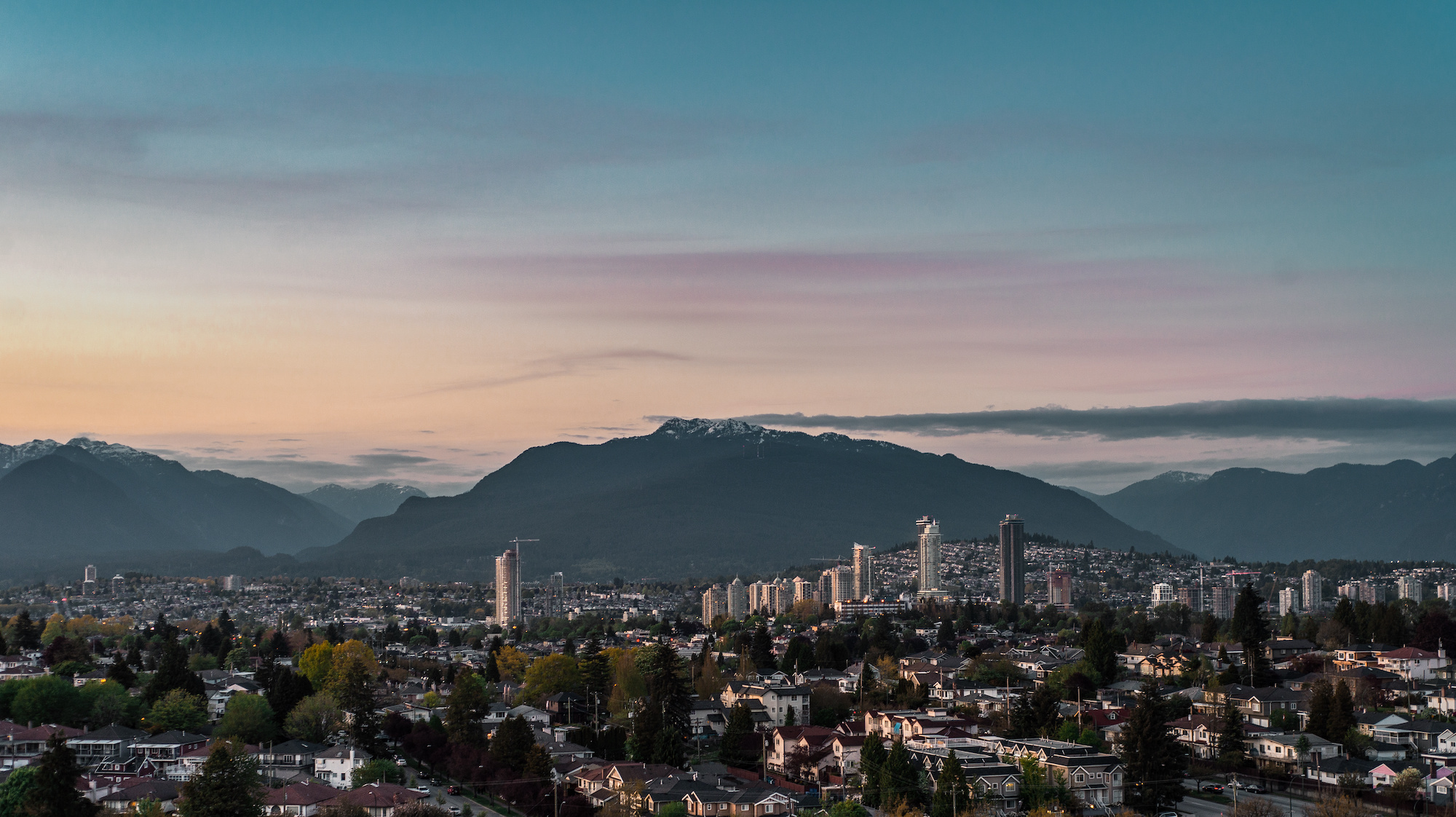
Burnaby Mountain
Real Estate in Burnaby Mountain Area
Boasting an idyllic combination of peaceful, natural beauty and the convenience of urban amenities, Burnaby Mountain is a premier real estate investment location in Metro Vancouver. This neighbourhood offers stunning greenery, scenic hiking trails with captivating panoramic views - all within easy reach to shopping centres schools and healthcare facilities. Its diverse housing options range from single-family homes to townhouses and high-rise condos; making it attractive for buyers at any price point or lifestyle preference.
Burnaby Mountain's residential area, UniverCity - located atop the mountain of Burnaby and home to Simon Fraser University Burnaby campus - is an ideal location for those looking for a high-quality lifestyle. With modern condos, garden townhouses, shopping centres, restaurants playgrounds as well as elementary school nearby alongside its stunning natural setting , investing in real estate here presents an excellent opportunity - this popularity causing higher prices reflecting increased demand.
Burnaby Mountain Amenities
Living in Burnaby Mountain offers a wealth of amenities that enhance its appeal as a desirable neighbourhood. The area boasts several beautiful parks and green spaces, including Burnaby Mountain Conservation Area, which provides residents with ample opportunities for hiking, mountain biking, and outdoor recreation. The neighbourhood is also home to Simon Fraser University, which offers world-class educational opportunities, as well as cultural and entertainment events. The community has a diverse selection of restaurants, cafes, and shops, ranging from local boutiques to big-box retailers, ensuring that residents can easily find what they need. Additionally, the neighbourhood is well-connected to the rest of Metro Vancouver through public transportation, making it easy for residents to explore the region's many attractions. Overall, Burnaby Mountain offers a high quality of life, with all the amenities needed for a comfortable and convenient lifestyle.
Schools in Burnaby Mountain Area
- Simon Fraser University
- Burnaby Mountain Secondary
- University Highlands Elementary
Burnaby Mountain Transit
Burnaby Mountain is the perfect place to be if you're looking for a quick and easy way into Vancouver, Burnaby or Coquitlam. Here, riders can catch conveniently located bus loops linked directly to Production SkyTrain station on Gaglardi Way - meaning travel along Highway 1 and Lougheed Highway takes mere minutes!
Capitol Hill
Real Estate in Burnaby's Capitol Hill Area
Capital Hill's charming residential streets and awe-inspiring views create an idyllic setting for potential homebuyers. With homes spanning single family, townhomes, and condos – there is something to suit everyone! In addition to the neighbourhood’s stunning natural beauty comes a great sense of community - with regular events taking place throughout the year. Conveniently located close by are local amenities such as shops, restaurants and schools; while more adventurous residents can take advantage of nearby parks or embark on one of many gorgeous hiking trails in Vancouver. Capital Hill offers all this plus easy access into downtown Vancouver – perfect for those who desire peace yet seek city life too!
Capitol Hill offers an outstanding view of the famous Burrard Inlet, Vancouver skyline and North Shore mountains. Immerse yourself in its vibrant European culture or explore Simon Fraser University nearby – Capitol Hill has something for everyone!
Capitol Hill Amenities
Capitol Hill may not boast of its own eateries, however seeking delicious food is effortless. Hastings Street has a selection to tantalize your taste buds; be it traditional eats, Chinese dishes or Caribbean delights. Burnaby Heights is the perfect place to explore unique retail options while you sample local restaurants and take pleasure in their delightful treats! Farther south lies Brentwood Town Centre with an impressive array of shopping opportunities from gourmet bakeries to financial services plus much more for those who prefer air-conditioned comfort over fresh outdoor air.
Schools in Capitol Hill Area
- École Capitol Hill Elementary- K-7 and French
- Confederation Park Elementary K-7
- Burnaby North Secondary 8-12
- Alpha Secondary
Recreation in Capitol Hill
Confederation Park, nestled among Capitol Hill's western edge, is a haven for recreation and culture. Sports fans can take advantage of lacrosse boxes and basketball courts while nature enthusiasts explore the Off-Leash dog area or Eileen Daily Poll. The park is also home to BC Society of Model Engineers as well as Confederation Community Centre for Seniors – perfect places to attend community gatherings! Lastly, don't forget about McGill Public Library which provides visitors with more than books - it offers an enriching learning experience in one stunning setting.
Capitol Hill Transportation
Capitol Hill is well served by major bus routes along Hastings Street that take you straight into the heart of downtown Vancouver, Simon Fraser University, and to Metrotown and SkyTrain stations in Burnaby.
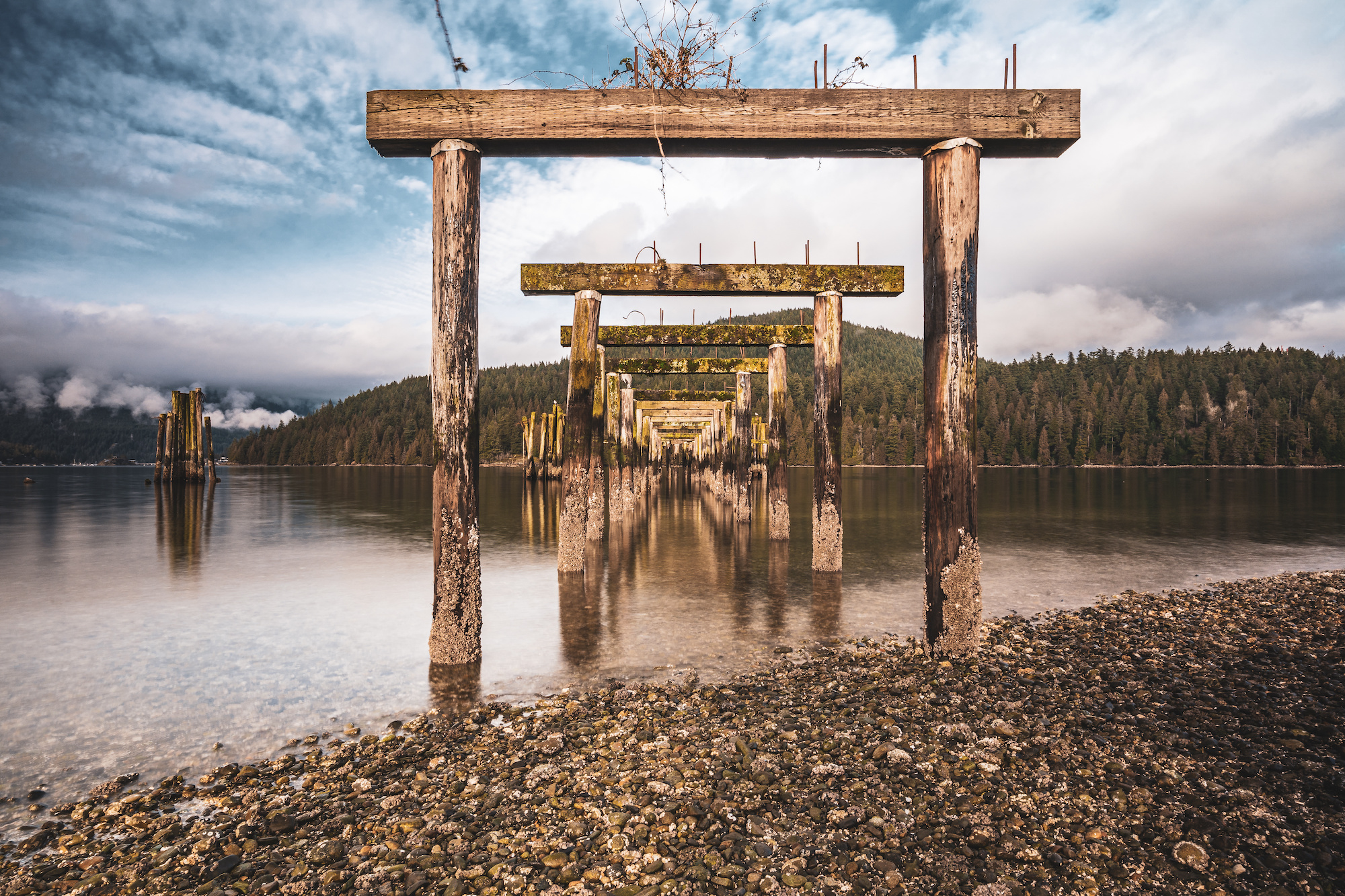
Deer Lake
Real Estate in Burnaby's Deer Lake Area
Explore the exquisite real estate of Burnaby's Deer Lake area. A haven for outdoor enthusiasts and culture lovers alike, this vibrant neighbourhood boasts large custom homes nestled among lush green surroundings. Whether you prefer an ultra-modern style or something more traditional - each home is unique in its own special way! Enjoy easy access to a plethora of amenities including nearby Deer Lake Place, Upper Deer lake, and Buckingham Heights all within reach fuelled by natural beauty that will take your breath away!
Shopping Near Deer Lake
Deer Lake offers Burnaby residents a vibrant shopping scene that caters to all tastes. The area is home to the expansive Metropolis at Metrotown, one of Canada's largest malls boasting over 400 stores and eateries. Additionally, Crystal Mall stands nearby with its array of Asian-themed shops and restaurants creating an exciting shopping experience for visitors from around the world. For those looking for something more intimate there are also several local businesses in Heights neighbourhood where customers can discover unique products while enjoying cozy cafes perfect for unwinding after a day out exploring Deer Lake's many retail offerings!
Schools Near Deer Lake
- Deer Lake Preschool
- Buckingham Elementary
- Lakeview Elementary
Recreation in Deer Lake
Deer Lake Park is the perfect spot for a family getaway, offering tranquil walking and hiking trails, heritage tours of its peaceful landscape as well as picnics sites and playgrounds. Meanwhile at Edmonds Community Centre you can enjoy a diverse selection activities designed to suit all ages - from yoga classes and swimming sessions to youth centres specifically tailored towards younger residents. If that isn't enough - take in Burnaby's artistic side with Shadbolt Centre housing two theatres plus numerous studios & galleries dedicated to one of Canada’s most celebrated 20th century painters- Jack Shadbolt!
Deer Lake Transportation
Deer Lake is located between Kingsway and Number 1 Highway, which offers quick routes to Vancouver. There are various transit bus links to major destinations such as Metrotown and New Westminster.
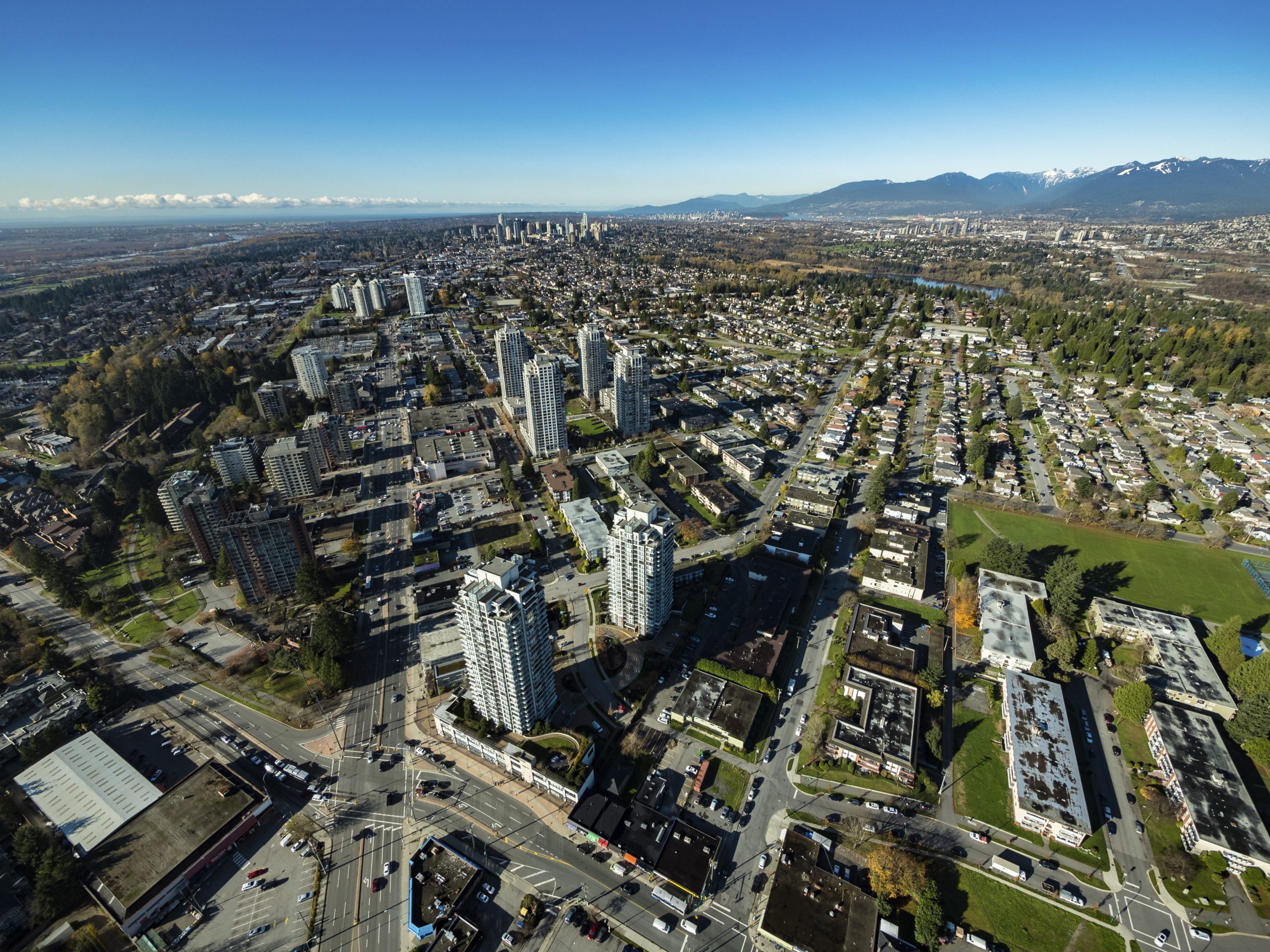
Metrotown
Real Estate in Burnaby's Metrotown Area
Metrotown offers the best of urban living, combining convenient amenities with plenty of green space. Home to one of Canada's largest malls and a vibrant selection other shops, restaurants and entertainment venues - residents can find whatever they need just steps away from their front door! The neighbourhood is well-connected too; SkyTrain provides quick access to downtown Vancouver as well as locations beyond. Metrotown also boasts several parks that offer lush respite for those looking for some fresh air amidst all the hustle & bustle in this famously diversified area full of high-rise condos, townhouses & single family homes providing affordable options no matter your lifestyle or budget.
Metrotown amenities
Metropolis in BC is a premier shopping destination, boasting an impressive selection of retail stores, movie theatres and dining spots. For shoppers looking for something unique, the Crystal Mall offers an unparalleled Asian experience. Independent retailers from across the region also offer their goods at these two malls to provide locals with truly diverse selections within easy reach.
Alongside Bonsor Park are two vibrant community centres - The Senior Centre which facilitates social gatherings and classes such as fitness activities; while over at the Recreation Complex there's a wide range of fun pursuits like swimming pool use plus sports including basketball and racquetball courts along with soccer fields outdoors too!
Schools Near Metrotown
- Burnaby South Secondary
- Chaffey-Burke Elementary School
- Maywood Community School
- Moscrop Secondary School
- Maywood Community School
- Marlborough Elementary School
Metrotown Transit
Being a central commercial hub, this area has easy access to three main SkyTrain stations;
- Metrotown Station
- Royal Oak Station
- Patterson Station
There is also a transit loop at Metropolis with bus links that cross Vancouver's Lower Mainland.
South Slope
Real Estate in Burnaby's South Slope Area
South Slope neighbourhood mainly comprises single-family homes with several townhouses towards the Metrotown area. The northeast corner of the community, along Southport Drive, is a family-friendly residential area with townhomes and condominium towers with amenities and services nearby. If you are looking for a quiet neighbourhood to call home, consider buying/renting real estate in South Slope.
South Slope, sometimes called Burnaby South, is located southeast of Metrotown between Marine Drive and Rumble Street from Griffiths to Patterson Street. The neighbourhood derives its name from the steep slope it is situated in. It is a large established residential community made up of condos, detached homes and townhomes. The neighbourhood is very family-friendly and is serviced by several schools, sports facilities and excellent parks.
South Slope Amenities
South Burnaby or South Slope is known for Byrne Creek Ravine Park which bisects much of the neighbourhood. This park straddles Byrne Creek, an urban waterway that has been lovingly restored to its natural splendour by a dedicated stream. The stream is home to spawning salmon and even trout. A network of trails runs through the forested area along the creek. There is a great trail to walk or bike ride and plenty of picnic areas.
Shopping in South Slope Area
South Slope in Burnaby includes Rumble Street and everything south until the river. There are small businesses, including shops and services on the intersection of Royal Oak Avenue and Rumble Street however, Marine Way Market is a grocery-anchored shopping centre situated in Burnaby at the intersection of Marine Way and Byrne Road.
South Slope Schools
- Glenwood Elementary
- Clinton Elementary School
- South Slope Elementary
- Burnaby South Secondary School
Recreation in South Slope Area
The Riverway Sports Complex, in the southwest corner of South Slope, serves as a recreational facility with softball and soccer fields and an outdoor lacrosse box. Riverway Golf Course includes a driving range and neighbours Byrne Creek Ravine Park.
Transportation in South Slope Area
South slope is well served by shuttle buses that run through the middle of the neighbourhood. You can easily access two SkyTrain stations;
- Edmonds Station
- Royal Oak Station
Kingsway and Marine Drive are two major routes that offer easy connections to Vancouver, Surrey, Richmond, and New West.
Highgate / Middlegate
Real Estate in Burnaby's Highgate Area
Highgate (AKA Middlegate), provides a wide range of residential real estate, including condos, townhouses, and detached homes. However, condos dominate the market. It is ideal for those looking for single-family homes. The houses in this neighbourhood represent a wide range of styles and prices. It is a beautiful place to live and raise a family. Everything you need to live and play is in one area. Located in the southwest quadrant of Burnaby, central to parks, community centres, pools and a shopping mall.
Highgate Village is a retail area located in Middlegate and runs from Canada Way to Imperial Street, Edmonds Street to Gilley Avenue. Boarding New Westminster, the neighbourhood consists mainly of single-family bungalows, condo towers and townhomes.
Highgate Amenites
Highgate Village is a shopping center contains 45 shops including; a grocery store, a large drug store and several restaurants, a bakery, a fitness centre, an optical centre, and financial services. The neighbourhood is supported by independent businesses of all kinds along Kingsway and in Edmonds. The neighbourhood also features a branch of the Burnaby Public Library and the new Edmonds Community Centre which has a pool, fitness and art studios, daycare as well as a gymnasium. The neighbouring park offers a playground and sports courts. Highgate's proximity to Deer Lake Park makes it easy to access the natural beauty and cultural opportunities with its many walking trails around the charming urban lake and several art galleries, studios and performance theatres at the Shadbolt Centre.
Schools In Highgate Area
- Morley Elementary
- Windsor Elementary
- Edmonds Community School
- Second Street School
- Stride Community School
- St. Francis De Sales School
- Clinton Elementary School
Transit In Highgate Area
Highgate is well-served by major bus routes that run along Kingsway to Vancouver and New Westminster. Edmonds SkyTrain is situated in the southern part of the neighbourhood.
Sullivan Heights
Real Estate in Burnaby's Sullivan Heights
Sullivan Heights offers a variety of residential homes for sale, including condos, townhouses, and detached homes. The homes in this neighbourhood have different styles and a wide range of prices and are ideal for those looking for single-family homes. It is a beautiful place to live and raise a family.
Sullivan Heights is the neighbourhood located northwest of Cariboo. It is surrounding the Lougheed Town Centre shopping mall along the border between Burnaby and Coquitlam. Sullivan is marked by North Road to the east, Lougheed Highway to the south, Broadway at the north, and Gaglardi Way to the west.
Sullivan Heights Amenities
Sullivan Heights has a collection of restaurants, cafés and boutiques. It is famous for its central Lougheed Town Centre- Burnaby's second-biggest new master-planned community. The mall is popular due to the Ihop restaurant and the fact that it takes part in monthly promotions.
Sullivan Heights School
- Stoney Creek Community School
- Lyndhurst Elementary
- Cameron Elementary
- Burnaby Mountain Secondary
Recreation In Sullivan Heights
Cameron Recreation Complex in the neighbourhood comprises indoor sports courts for tennis, basketball and racquetball, a library and community rooms. The area is also surrounded by a great park with walking trails, an outdoor fitness circuit and a spray park.
The community is near the recreational hub of Burnaby Mountain Conservation Area. There are hiking and biking trails in the forested mountainside, most of them climbing up toward the summit.
Sullivan Heights Transportation
Lougheed SkyTrain station is centrally situated and easily accessible to the people of Sullivan Heights. Vancouver is only a quick train ride away from Sullivan Heights. The Evergreen line runs east to Port Moody and Coquitlam. The station is also a centre for buses on routes connecting to New Westminster and other destinations in the Lower Mainland.
Westridge / Lochdale
Real Estate in Burnaby's Westridge Area
Westridge is located close to Simon Fraser University to which is linked by the newly built Burnaby Mountain Parkway and connects Barnet Hwy into Port Moody.
Westridge comprises mostly detached single-family homes and several townhouses and has everything you would want to enjoy.
Westridge is a small residential community that stretches across the Barnet Highway, between Hastings Street and the Burrard Inlet, in Burnaby's northeast corner. It has small, good-looking single-family homes, larger custom houses and several townhouse developments.
Westridge Amenites
Westridge's closeness to the Barnet Highway and Hastings Street makes it a quick commute into Vancouver, or east towards Simon Fraser University, Coquitlam and Port Moody. The community possesses some eye-catching views of the North Shore Mountains and Burrard Inlet. Its small park consists of tennis courts and an outdoor wading pool to cool off during summer.
This neighbourhood is very close to the forested hiking and biking trails of the Burnaby Mountain Conservation Area. The only sandy beach of the city at Barnet Marine Park is also accessible.
Shops, restaurants and other services can be found at the nearby Kensington Square shopping plaza and a small commercial strip along Hastings Street. A bit further west, the bustling multicultural Heights area is attractive with its French cafés, Italian deli's and Vietnamese Pho restaurants.
Westridge Schools
The actual catchment for schools in Westridge Burnaby is limited to Westridge Elementary School, however there are several schools within a short walk or driving distance including;
- Burnaby North Secondary School
- Lochdale Community School
- Simon Fraser University
- Westridge Elementary School
Recreation in Westridge
Its proximity to Barnet Marine Park makes it attractive and family-friendly. You can enjoy the fantastic views of Burrard Inlet and Indian Arm. The small Westridge Park located west of Inlet Drive, close to where it joins with Hastings Street offers a great children's playground and some tennis courts. A short 10 minute drive west to Willingdon and you will find Confederation Park which offers a public swimming pool, lacrosse field and a large grass field area for sports and picnic areas.
Transportation in Westridge
Major bus routes operate along Hastings street at Duthie Avenue from Simon Fraser University to downtown Vancouver. They also join with routes to Skytrain at Brentwood station.
Willingdon Heights
Real Estate in Burnaby's Willingdon Heights Area
Willingdon Heights is named after a major Burnaby artery, Willingdon Avenue. Connecting North Burnaby with Kingsway and the Metrotown area in South Burnaby.
This quiet, vibrant, and family-oriented neighbourhood shares its western edge with Vancouver and runs east to the Burrard Inlet. The area comprises mainly single-family homes, several newer custom homes, some condo developments and townhomes. There are a large number of heritage homes in Burnaby Heights that were constructed by early British settlers, mainly to the north of Hastings Street.
Willingdon Heights Amenities
Similar to amanities to Burnaby Heights as it shares Hastings Street, you can find local shops including deli's, numerous restaurants and grocery stores.
With access to excellent parks, Trans Canada hiking trails, and spectacular views of Vancouver's skyline, the Burrard Inlet, and the North Shore Mountains.
Willingdon Heights Schools
- Gilmore Elementary
- Kitchener Elementary School
- Alpha Secondary School (École)
- Confederation Park Elementary
- Burnaby North Secondary School
Recreation in Willingdon Heights
The neighbourhood's largest and most remarkable recreation spot is Confederation Park, at the north end of Willingdon Avenue. The park has a pool, seniors centre, library, sports fields such as basketball courts, playgrounds, lacrosse box, lawn bowling pitch, skate park and a lively informal walking/running track.
There is also the Confederation Park Off-Leash Trail for your dog off Penzance Drive. Montrose Park is situated in Burnaby Heights and is part of a pedestrian trail. The Burnaby's part of the trail starts at Boundary Road and runs west through Montrose Park. The park is also renown with birdwatchers as it is just off the Burrard Inlet.
Willingdon Heights Transportation
Burnaby Heights is serviced by bus routes along Hastings Street to Simon Fraser University, Downtown Vancouver, Nanaimo Station and Metrotown and SkyTrain stations. There are also bus routes that serve along Boundary Road, Eton Street, and Willingdon Avenue. The Heights also has access to the Trans Canada Highway, with quick connections to the North Shore. The neighbourhood is situated next to the Ironworkers Memorial Bridge for easy access to North Vancouver.